Open any city map and you will see a second city hiding under the first. Boroughs, districts, counties, municipalities. Travelers tend to ignore these lines. Locals use them every day, for addresses, services, and a shared sense of where things are. Learning to read them is a quiet travel skill.
Every country splits its land into smaller areas. Some authority takes decisions for each piece. Wikipedia describes them as geographical areas, each usually run by an authority with power over its area. Cities sit inside this stack. And the stack looks different everywhere you go.
The Names Do Not Travel Well
The same word can sit at different heights in different places. Common names for the largest divisions include states, provinces, and regions. Below them sit smaller units, often called districts. Below those come municipalities or communes. Some names are slippery. Departments, cantons, and prefectures can sit at the first, second, or third level. It depends on the country. For related coverage, see Hilton Head Island: A Second Look at the Three Areas Where You Might Stay.
So a district in one country is not the same thing as a district in another. Never assume a familiar word means a familiar thing. Check what the term means where you are going, not where you come from. This connects to our earlier piece, Honolulu: What Maze's New York Times Recognition Means for Planning a Dinner in Kaka'ako.
How Deep the Ladder Goes Varies Too
Some countries stack many layers. France and Pakistan each have five levels of administrative division. Small states need fewer. Vatican City has no subdivisions at all. Monaco has only one level. As a rule, the smaller the country, the fewer the levels.
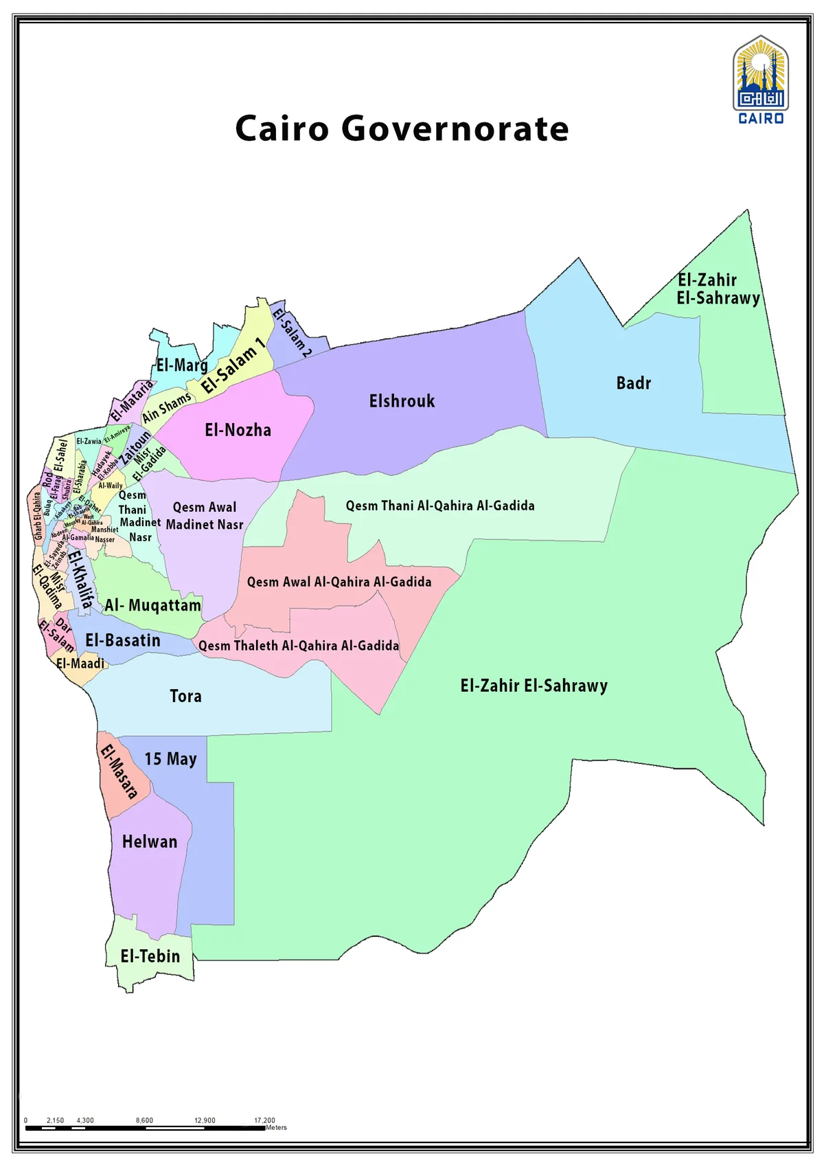
For a traveler, those names on a foreign map reflect government structure. They do not show how interesting the areas are. A city can also carry divisions of its own. This is where reading the map starts to pay off.
The Borough Test: One Word, Many Meanings
The borough is the classic case of a wandering word. The term, per Wikipedia’s article on the borough, designates in principle a self-governing walled town. A borough is also usually smaller than a city. In practice, official use of the term varies widely. In New York City, London, and Montreal, a borough is a subdivision of the city. It normally has limited powers delegated by the city, or none at all. In Alaska, a borough can mean a whole region. The state’s largest borough is comparable in area to the entire United Kingdom.
Same label, opposite scale. So ask two questions about any division on a map. What is it a subdivision of? And does it govern itself?
Why This Matters on a Trip
Government lines shape daily life. They decide which local authority collects rubbish, runs libraries, or sets the rules for a street. They also explain oddities on the map. Cambridge and Boston in Massachusetts look like one large city to a casual traveler. Locally they are quite culturally different, and each occupies its own county.
Use districts for practical reading. An address with a borough or district name tells you which administration serves it. A boundary line can hint at where one character of a city ends and another begins. Even so, culture often spills across the official line.
Conclusion: Read the Lines, Then Look Past Them
Administrative districts are the skeleton of a city. Learn the local words, check which level each one sits at, and ask who governs what. Then remember that the living city, with its neighborhoods and habits, often ignores those same lines. Locals do exactly this. They respect the official map when it matters, and step over it when it does not.